Existing retail provision in Healing has declined in recent years leaving only the post office/convenience store and 2no. hot food take aways to the north, close to Healing railway station.
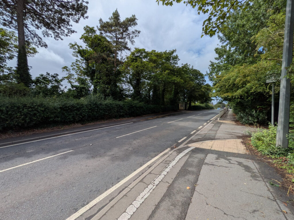
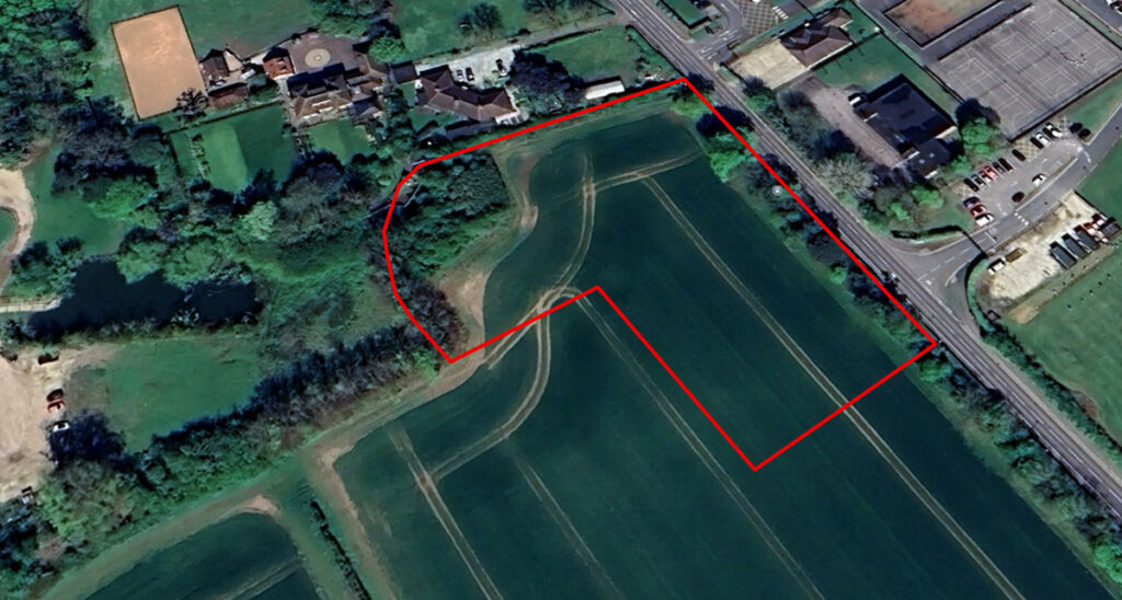
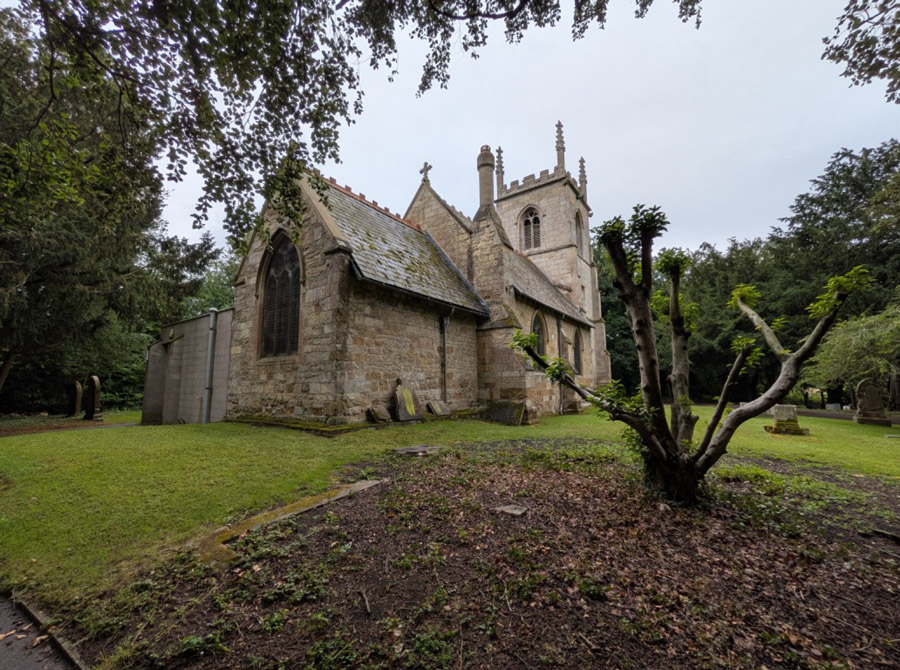
In terms of designations, the site is outside of, but adjoins, the settlement boundary for Healing and is therefore open countryside. For the purposes of retail development, it is out of centre. It is not located in a Conservation Area. To the west of the site (c.250 metres away), two moated sites at Healing Hall are identified as Scheduled Monuments – the Hall itself is not a listed building. The Church of St Peter and St Paul, along with the Cross Base (circa 200 metres to the west) are Grade II listed. The site is located within Flood Zone 1. The mature trees along Great Coates Road are protected by a Tree Preservation Order (“TPO”).